
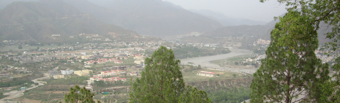
Location
Srinagar town is located at 30˚13’ 11” latitude North and 78˚46’ 47” longitude East at an elevation of 535 to 750m on the left terraces of the Alaknanda river. The main town rests on the third terrace at an elevation of 550—655m.
Climate
Srinagar town enjoys a sub-tropical climate with monthly temperatures ranging from a minimum of 10˚in January to a maximum of 28˚ in June. The town receives an average rainfall of 95cm.
Population
Approximately 100,000. However, see the wikipedia for another number and some demographics.
Alaknanda Valley River Systems in the Garhwal Himalayas
The Alaknanda valley is conspicuous by the presence of the main tributary of the Ganges: the Alaknanda. Various other himalayan water systems are present and contribute to the confluence of rivers at:
- Vishnuprayag
- Alaknanda (later forms The Ganga after the Bhagirati joins it downstream at Devprayag) is formed by the confluence of Vishnu and Dhauliganga
- Nandprayag
- Alaknanda with Nandakini
- Rudraprayag
- Alaknanda with Mandakini
- Karnprayag
- Alaknada with Pinder
- Devprayag
- Alaknada with Bhagirathi and from there onwards the river is conclusively known as Ganga when it finally descends into the plains at Rishikesh